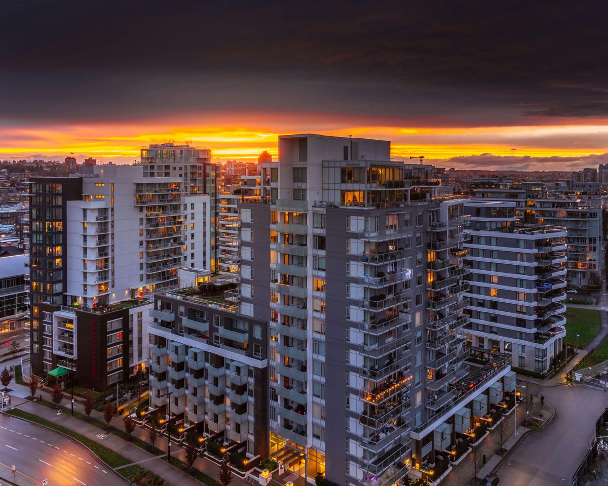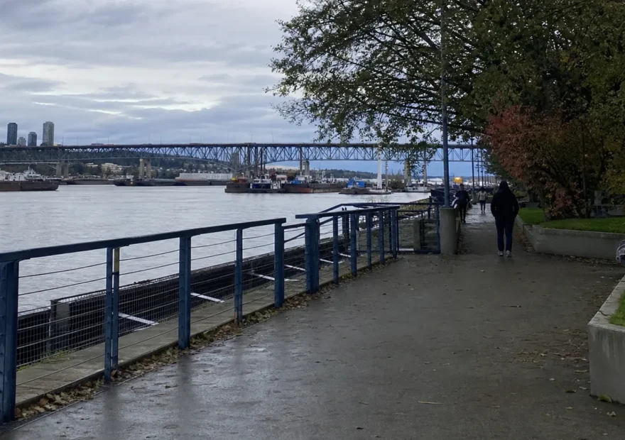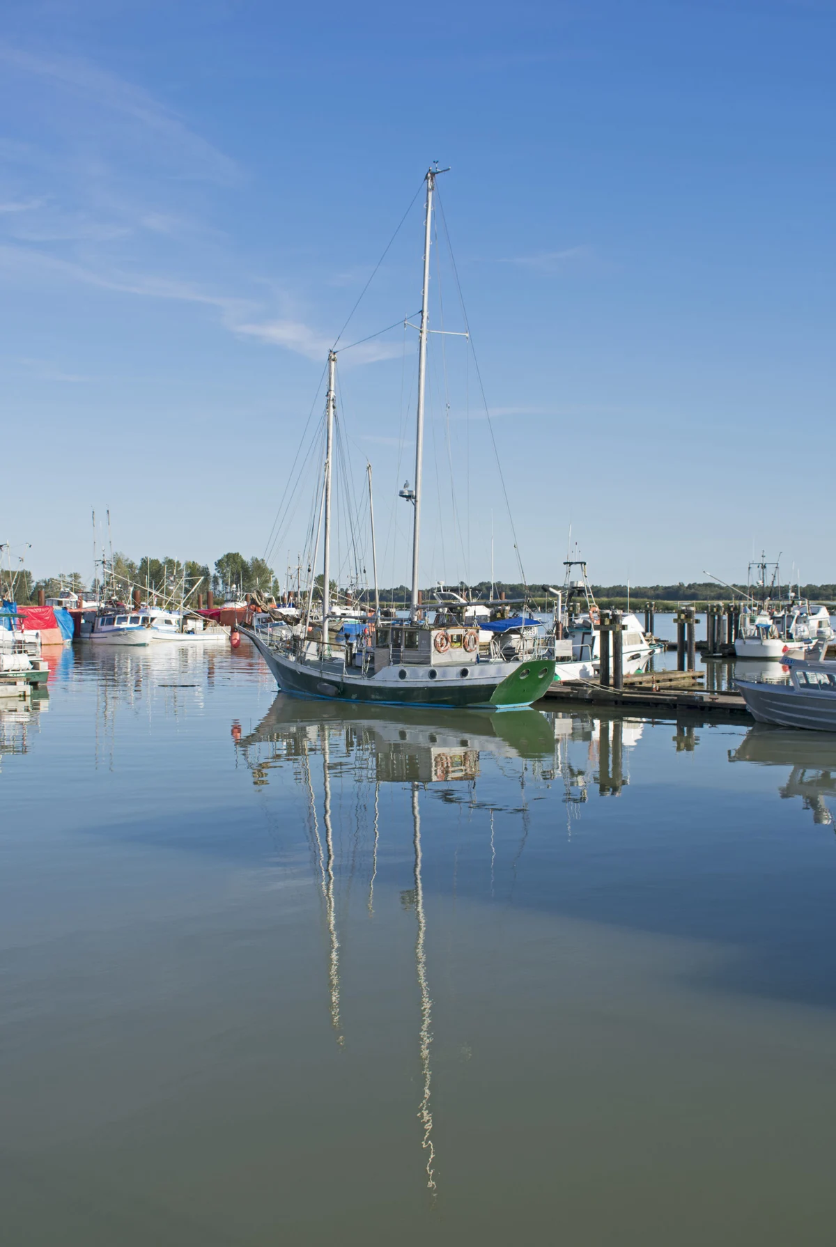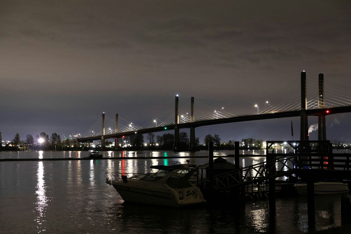
Downtown Haney, the ACT Arts Centre, Golden Ears Provincial Park, and the West Coast Express commuter rail — Maple Ridge as Metro Vancouver's eastern gateway.
Maple Ridge sits at the eastern edge of Metro Vancouver where the suburbs end and the Fraser Valley starts. It is about 45 to 60 minutes from downtown Vancouver by car or by West Coast Express commuter rail, and the contrast with the closer-in suburbs is real: the mountains feel nearer, agricultural land is still visible, and outdoor access is more immediate than in any other corner of the region.
This guide is for someone deciding whether Maple Ridge is worth a day trip, a weekend, or a longer look as a place to live around. Trail conditions, prices, and operating hours change with the season, so confirm anything specific on each official site before going.
Quick answer
Visit Maple Ridge for outdoor access, especially Golden Ears Provincial Park. Choose it as a base only if Fraser Valley pace and easier access to hiking, swimming, and dyke cycling matter more than city walkability. For one day, plan around the park. For longer, mix park days with the historic downtown and a Pitt Meadows dyke ride.
Who Maple Ridge is for
Maple Ridge works well for a specific kind of visitor or resident, and less well for others.
It is a strong choice for outdoor-focused day trippers who want one of the largest provincial parks in Metro Vancouver, for cyclists who want flat, scenic dyke routes through agricultural land, for families with kids drawn to wildlife and hatchery viewing, and for people scouting Fraser Valley suburbs with stronger access to hiking and camping than they would get living closer in.
It is a weaker choice for visitors looking for restaurant-driven evenings, dense walkable neighbourhoods, or convenient SkyTrain access. The food scene is practical rather than destination-grade, and transit to the area requires planning. It is also a weaker choice for trips built entirely around weekend nightlife.
If you are choosing between Maple Ridge, the Tri-Cities, and Langley as a base, Maple Ridge is the outdoor-park option, the Tri-Cities are the city-convenience option, and Langley is the farms-and-wineries option.
Where Maple Ridge is
Maple Ridge is east of Coquitlam and Pitt Meadows, north of the Fraser River, and south of the mountains that include the Golden Ears peaks. It sits at the gateway to the Fraser Valley but inside the Metro Vancouver regional district. By road, expect 45 to 60 minutes from downtown Vancouver depending on traffic and route, via Highway 1 across the Port Mann or via Highway 7 along the Fraser’s north shore. By transit, the West Coast Express commuter line connects Vancouver’s Waterfront Station to Port Haney, Maple Meadows, and Pitt Meadows stations on weekdays.
A one-day Maple Ridge itinerary
A practical template for a single day in Maple Ridge built around Golden Ears Provincial Park:
- Early morning. Leave Vancouver early to arrive at Golden Ears before the day-use parking strains. Stop for coffee in Maple Ridge along the way if needed.
- Mid-morning. Park at the Gold Creek day-use area or, for swimming, at Alouette Lake. Walk a section of the Gold Creek trail system or settle on the beach depending on weather and group.
- Lunch. Picnic at the lake or in the day-use area. Outside food is welcome in the park. Pack out everything.
- Early afternoon. Continue at the lake, do a short additional walk, or head out and stop at Kanaka Creek Regional Park on the way back.
- Mid-afternoon. Drive into historic downtown Maple Ridge along 224th Street. Walk through Memorial Peace Park and the downtown blocks. Stop for coffee, ice cream, or a casual meal.
- Late afternoon. Take a short stretch of the Alouette dyke trail if you have energy left, or head back toward Vancouver before commuter traffic builds.
This works as a Saturday or weekday plan. Sundays are similar but the Highway 7 return is calmer.
Golden Ears Provincial Park
Golden Ears is the reason most people from outside Maple Ridge end up here. It is one of the largest provincial parks within Metro Vancouver’s boundaries, with hiking, swimming, camping, and backcountry routes that feel genuinely remote despite the nearby city. The official park page at bcparks.ca is the place to confirm trail conditions, fire bans, day-use parking status, and reservation rules before going.
Day-use expectations. Day-use parking lots fill early on hot summer weekends. Arrival before mid-morning is the practical difference between a beach spot or a trailhead start and the overflow lot walk. Cell coverage is patchy inside the park. Plan navigation and meeting points before losing signal.
Alouette Lake. The lake is the main day-use swimming destination: a clear glacial lake with a sandy beach, boat launch, and picnic areas. Water is cold even in late summer. The beach gets busy on weekends and the parking can be strained.
Gold Creek area. Gold Creek runs through a forested valley on the park’s western side. Trails follow the creek and include some of the more accessible park walks. The creek has swimming holes that are usable in summer in good conditions.
Hiking. Trail length and elevation vary substantially. Some routes are short and family-friendly. Others, including the Golden Ears Summit, are long, steep, full-day efforts recommended only for fit hikers in stable conditions. Verify difficulty, distance, and current advisories on the BC Parks site before committing to a route.
Camping caution. The park’s main vehicle-accessible campground is popular. Reservations open months in advance through the BC Parks reservation system at camping.bcparks.ca, and popular summer weekends sell out quickly. Backcountry sites have separate rules. Showing up without a reservation on a summer weekend is the most common Golden Ears planning mistake.
What to confirm before going. Trail status, parking situation, fire bans, wildlife advisories, and reservation rules can change. The BC Parks page is the only authoritative source. Local trip reports and older guidebooks are useful for character but should not be used for current conditions.
Alouette dykes and the Pitt Meadows pairing
The Alouette River and its dyke trail system runs through Maple Ridge’s western edge and connects to the extensive dyke network of Pitt Meadows and the Pitt-Addington Marsh Wildlife Management Area. Cycling the dykes from Maple Ridge toward Pitt Meadows is a full day of flat, scenic riding through agricultural land that feels like the river delta it geologically is.
The marsh hosts hundreds of bird species through the year. Autumn migration is one of the better raptor-watching periods in the region. Spring brings waterfowl. The Pitt-Addington access road and the trail network around it can be busy on summer weekends but are usually quiet outside peak conditions.
The Pitt Meadows side of this corridor is worth a separate look. The City of Pitt Meadows site at pittmeadows.ca covers parks, trails, and local events for that side of the dyke. The two cities share enough geography that planning across both makes more sense than treating them as separate destinations.
Kanaka Creek and the Bell-Irving Hatchery
Kanaka Creek Regional Park, in the Haney area, covers more than 400 hectares along Kanaka Creek and runs from the Fraser River up toward the mountains. The park is run by Metro Vancouver Regional Parks; see metrovancouver.org for current hours, trail maps, and any advisories.
The Bell-Irving Hatchery on the creek does salmon enhancement work and is one of the area’s quieter attractions. Public viewing is typically available during salmon spawning seasons in the fall, when coho and chum return to the creek. The hatchery’s specific viewing dates and conditions change with the salmon run and weather. Confirm current viewing windows on the Metro Vancouver site or the hatchery’s own pages before driving out specifically for it.
Walking the lower section of Kanaka Creek along the Fraser River is a good complement to a Golden Ears day. The trail is flat, the views shift between forest and waterfront, and the park feels much less busy than the provincial park further north.
Downtown Maple Ridge
Maple Ridge’s historic downtown sits along 224th Street and Dewdney Trunk Road. It has retained more of its pre-suburban character than many comparable Fraser Valley communities, and it works as a walking destination if you give it half an afternoon.
Memorial Peace Park. The town centre’s main park is well-maintained and heritage-designated. It hosts farmers’ markets, community events, and seasonal programming. The City of Maple Ridge maintains a current events calendar at mapleridge.ca/explore-maple-ridge/festivals-events listing what is happening in any given week.
Food. Options skew toward casual cafes, pubs, and family-friendly restaurants rather than destination dining, with a small but growing independent scene around the 224th Street corridor. Coffee shops and bakeries are easier to find than dinner reservations. Plan dinner expectations accordingly.
Museum. The Maple Ridge Museum at mapleridgemuseum.org is small but covers the community’s development from early settler agriculture, through Japanese-Canadian and Sikh-Canadian community histories, to today. Worth an hour if local history interests you.
Practical services. The Lougheed Highway commercial strip below the historic core has the full range of suburban services: chain restaurants, big-box retail, grocery stores, and the practical infrastructure of a mid-size city.
Getting around Maple Ridge itself
Getting to Maple Ridge and getting around once you are here are two different problems. The West Coast Express and Highway 7 solve the first one. Moving between Maple Ridge’s own neighbourhoods, which spread out east-west along the Lougheed corridor and north toward the mountains, is a separate question with its own answer: a car for most of it, with local TransLink routes covering the main corridors for anyone without one.
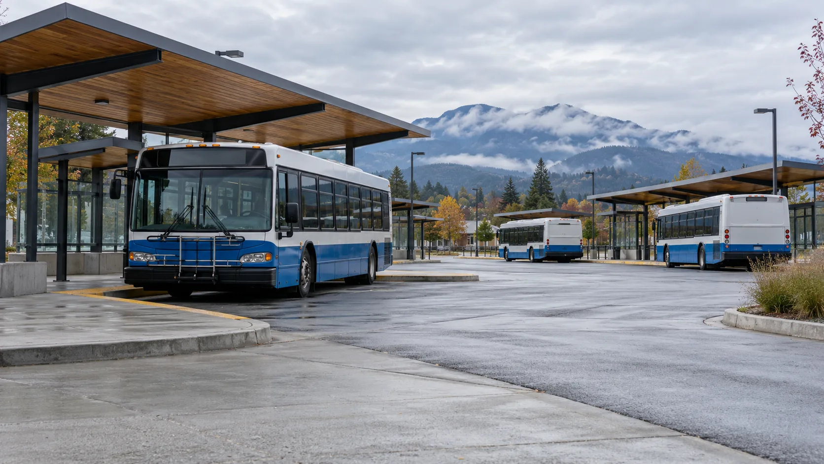
Haney Place Exchange, in the historic downtown, is the hub nearly every local route runs through. If you are without a car, plan trips through Haney Place rather than expecting a direct route between two outlying neighbourhoods.
| Route | Connects | Pattern |
|---|---|---|
| 741 | Haney Place to Anderson Creek, via Silver Valley | Community shuttle, 30 min frequency weekday peak |
| 733 | Haney Place to Rock Ridge, along 232nd Street | Community shuttle, 45 min frequency |
| 746 | Haney Place to Albion | Local route connecting the Albion flats south of Lougheed Highway |
That covers the Town Centre, Albion, Rock Ridge, and Silver Valley. Whonnock and Websters Corners, further east along the Fraser, have thin to no fixed-route service; a car or HandyDART (for riders who qualify) is the realistic option out that way, not a bus you can plan a day around.
All local bus trips within Maple Ridge are a flat one-zone fare. An adult fare is $2.85 with Compass stored value or $3.50 with cash or a contactless card or phone wallet under TransLink’s July 2026 fare table. West Coast Express has a separate distance-based fare; check current pricing for your station and payment method.
Transit notes
The West Coast Express serves Maple Meadows and Port Haney on weekdays, but its direction matters: trains run westbound toward downtown Vancouver in the morning and eastbound toward Maple Ridge and Mission in the afternoon and evening. That makes it useful for a commute or an afternoon trip out of Vancouver, not a conventional morning-out, evening-back day trip. Check the current West Coast Express schedule before planning around it.
Weekday commuter pattern. The regular service is built around weekday commuter hours, with no midday or regular weekend trains. For a daytime visit from Vancouver, plan a bus or car for at least one direction unless the published timetable specifically fits your trip.
Weekend transit caution. TransLink buses connect Coquitlam Central and Port Coquitlam stations to the Maple Ridge area on weekends, but the trip is long and involves transfers. For weekend visitors without a car, factor at least 90 minutes each way from central Vancouver.
Golden Ears car requirement. Transit does not reach the Golden Ears Provincial Park entrance. The park is several kilometres from the nearest bus stop. A car, rental car, or rideshare-with-pickup-plan is effectively required for the park itself.
Driving and parking
By car, the Golden Ears Bridge is the most common Fraser-crossing route from Surrey and Langley. From Vancouver, Highway 7 along the Fraser’s north shore is the more scenic route. Highway 1 plus the Port Mann is the faster option in light traffic but more variable in commuter hours.
Parking inside Maple Ridge proper is generally easy except in the historic downtown core on weekends, where on-street parking around 224th Street can get tight during events. Memorial Peace Park has nearby municipal lots that fill during farmers’ market and festival days.
Parking at Golden Ears Provincial Park is the more demanding situation. Day-use lots fill early on hot summer weekends, and the park uses an overflow system that can add a long walk to the day. Carpooling reduces overall pressure on the lots.
Seasonal planning
Each season changes the Maple Ridge calculation.
Spring. Days are getting longer but trail conditions can stay muddy well into June. Cycling the dykes is excellent in dry stretches. Pitt-Addington Marsh has strong waterfowl activity. Golden Ears day-use can be quieter than peak summer.
Summer. The busiest season. Day-use parking at Golden Ears fills early on weekends. Alouette Lake is the swimming destination. Campground demand peaks. Heat-advisory days can be uncomfortable in inland Fraser Valley conditions. Plan for an early start and sun protection.
Fall. Often the best season for a Maple Ridge visit. Crowds drop after Labour Day. The Pitt-Addington Marsh sees raptor migration. Kanaka Creek can be visited during salmon spawning, with current viewing windows posted by Metro Vancouver. Trails are usable but increasingly wet.
Winter. The lowest-key season. Snow at park elevation is possible. Lower trails stay open in most conditions but are wet and dark early. The dyke trails are usable for walking. Downtown holiday events at Memorial Peace Park are a low-key local draw. Confirm any park advisories before driving out, since gates and access roads can be affected by weather.
Maple Ridge vs nearby areas
The Maple Ridge choice often comes down to comparison with a few other parts of the region.
Pitt Meadows. The closest comparison. Pitt Meadows shares the dyke system and farmland character but is smaller and more sleepy. It works as a quieter alternative or as a paired second-day stop. Most visitors do not need to choose between them; the dyke trail system connects the two.
Tri-Cities (Coquitlam, Port Moody, Port Coquitlam). Just west of Maple Ridge. Denser, more transit-served, with more restaurant variety and SkyTrain access. The Tri-Cities things-to-do guide covers that cluster if you are deciding between this corner of the region and the next one over.
Coquitlam specifically. The better all-around city base if you want SkyTrain access, mall and big-box retail, and a wider range of restaurants. See the Coquitlam neighbourhood guide for the city-vs-Maple-Ridge comparison.
Langley. Across the Fraser to the south. Similar Fraser Valley character but more focused on agricultural tourism (wineries, U-pick farms, cideries) than Maple Ridge’s outdoor-park emphasis. The weekend ideas in Langley guide is the closest peer on the other side of the river.
Squamish. A different direction entirely. Squamish, north along the Sea-to-Sky Highway, has more developed outdoor-adventure infrastructure (rock climbing, mountain biking, the Sea-to-Sky Gondola). Maple Ridge is closer to central Vancouver, cheaper, and less crowded but does not match Squamish for specialist outdoor sports.
The short version: choose Maple Ridge for Golden Ears, dyke cycling, and a less-paved-over Fraser Valley feel. Choose the Tri-Cities for city convenience. Choose Langley for farms and wineries. Choose Squamish for serious outdoor specialization.
What to pair nearby
A day in Maple Ridge pairs naturally with stops in adjacent areas. Pitt Meadows is a quick extension via the dyke trails or a short drive west. If you are using transit, check TransLink’s current regional schedules for the Coquitlam, Pitt Meadows, and Maple Ridge area. The seasonal 736 bus to Golden Ears is discontinued until 2027, so plan a car, taxi, or other return arrangement for the park. For visitors planning a longer Metro Vancouver weekend, the weekend Metro Vancouver visitor guide puts Maple Ridge in context with the rest of the region. Lower-cost daytime options around the area are in the free and cheap things to do in Metro Vancouver guide.
Mistakes to avoid
A few patterns turn a good Maple Ridge plan into a frustrating one:
- Going to Golden Ears Provincial Park on a hot summer Saturday without an early start. Day-use parking fills early, and the overflow walk adds distance to an already-active day.
- Assuming transit reaches the park. It does not. Plan for a car even if the rest of your trip is transit-based.
- Treating Maple Ridge as a restaurant destination. The food scene is practical rather than destination-grade; adjust dinner expectations.
- Booking the campground last minute in summer. Sites open months ahead through the BC Parks reservation system and the popular weekends sell out fast.
- Underestimating the weather. The eastern edge of Metro Vancouver gets more rain than the city does, and Golden Ears trail conditions can be muddy well into June.
- Building a weekend visit around West Coast Express. The line runs commuter trips only; no weekend service. For weekends, drive or plan a long bus trip.
FAQ
Is Maple Ridge worth visiting from Vancouver? Yes, primarily for outdoor access: Golden Ears Provincial Park, Kanaka Creek Regional Park, and the Alouette River dyke trails. If your trip is restaurant- or city-focused, the Tri-Cities or central Vancouver are better choices.
How do you get to Maple Ridge from Vancouver? The West Coast Express commuter rail runs from Waterfront Station to Pitt Meadows, Maple Meadows, and Port Haney on weekdays. By car, expect 45 to 60 minutes via Highway 7 or Highway 1 plus the Port Mann or Golden Ears Bridge.
Can you reach Golden Ears Park by transit? No. The park entrance is several kilometres inland from the nearest bus route. A car is effectively required for the park itself.
Is Maple Ridge a good place to live? It works best for households that want a Fraser Valley pace, outdoor access, and lower density than the central suburbs. The trade-offs are longer commutes to downtown Vancouver and a thinner restaurant and entertainment scene than the closer-in suburbs.
What is the best time of year to visit Maple Ridge? Late spring and fall are the most comfortable for outdoor activities. Summer is busiest at Golden Ears. Winter is the quietest and works for low-key downtown visits.
Can you camp at Golden Ears Provincial Park? Yes, through the BC Parks reservation system at camping.bcparks.ca. Popular summer weekends book up months in advance. Backcountry sites have separate rules; confirm specifics on the BC Parks Golden Ears page.
Is the West Coast Express available on weekends? No. The line runs commuter trips only, Monday through Friday inbound in the morning and outbound in the afternoon and evening. For weekend visits without a car, factor at least 90 minutes each way from central Vancouver via TransLink bus connections.
Final advice
Maple Ridge rewards an outdoor-focused plan. Confirm trail conditions and reservations through the official sites before going, plan transit or car logistics around Golden Ears specifically, and treat food and shopping as practical rather than destination. For most visitors, one strong day around Golden Ears, the dykes, or Kanaka Creek is the version of Maple Ridge worth the trip.
Travel details change. YVRBlog aims to use official sources and show the review date above. If something has changed, please contact us.