April in Metro Vancouver is a gamble most people take anyway. The cherry blossoms come in waves and hand off to the magnolias and ornamental plums. The rain is unpredictable, which means the walks worth doing are the ones that hold up across conditions — good when it’s bright, still worthwhile when it turns grey. This region has enough variety — waterfront, old forest, open dyke trails, neighbourhood streets — that you don’t repeat yourself for months. Here are the ones worth planning a spring day around.
The Coal Harbour to Stanley Park Approach Walk

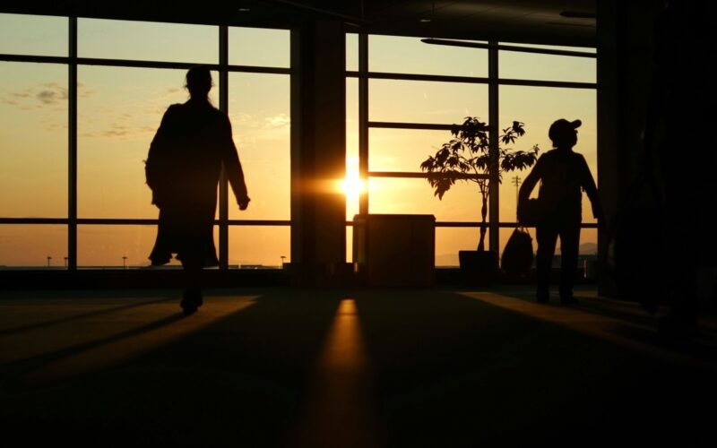
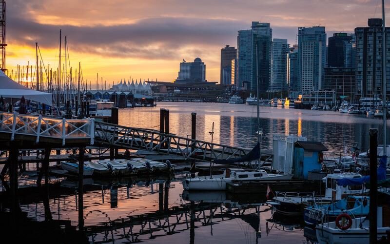
Most people walk the Stanley Park Seawall starting from the park entrance. Start instead from Waterfront Station and walk west along Coal Harbour — past the float plane terminal, through the marina, and then into the park at the northeastern entrance by the rowing club. This approach gives you Coal Harbour’s urban waterfront, a seaplane or two taking off over the inlet, and then the park’s forest opening up ahead as you arrive.
In spring, this section of the seawall before the park entrance is lined with flowering ornamental trees whose names I always forget — pinks and whites that drop petals onto the path when the wind catches them. On a dry spring morning before 9am, this walk has the city almost entirely to yourself.
VanDusen Botanical Garden: Worth the Admission in Spring

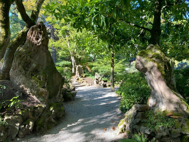
VanDusen Botanical Garden on 37th Avenue charges admission and is worth every dollar of it in spring. The garden peaks across April and May — magnolias first, then cherries, then the rhododendron collection which is one of the best in North America. The garden is 22 hectares of walking paths, and unlike the city’s free parks, the planting is curated toward exactly the kind of spring bloom density that justifies the trip.
Go on a weekday if you can — the weekend lineup at the gate in April is real. The Elizabethan maze is an odd feature that children find more compelling than adults expect. The café on site does a reasonable lunch. Budget two hours minimum; three if you’re the kind of person who reads plant labels.
The Burnaby Mountain Trail Loop

The trails around Simon Fraser University on Burnaby Mountain are at their best in spring. The Pandora Trail loop from the university cuts through second-growth forest that’s dense enough to feel wild and just long enough (about 5km with moderate elevation) to feel like an actual hike rather than a park walk. In spring the understory plants come back before the leaf canopy closes over — trillium, ferns unfurling, skunk cabbage in the wetter sections.
The views east from the mountain toward the Fraser Valley and Mount Baker are best in spring when the snow is still on the mountains and the air quality is at its clearest before summer. The outdoor sculpture and totem pole area near the SFU campus edge is free to wander through — one of those quiet Metro Vancouver spots that almost no one outside the neighbourhood knows about.
The Shoreline Trail, Port Moody
The Shoreline Trail along the north shore of Burrard Inlet in Port Moody runs through forest above the waterline for most of its length, dropping to pebble beaches at several points. Spring is the right season for it: the trail is less busy than summer, the inlet is clear, and the birds coming back to the area — buffleheads, mergansers, great blue herons — are all active. The Moody Centre SkyTrain station is the starting point; walk to Rocky Point Park and take the trail east from there.
The round trip from Rocky Point to Old Orchard Park and back is about 10km and takes two to three hours at a walking pace. It’s flat enough for most people and interesting enough that the time passes quickly. On a dry spring afternoon, this is one of the best easy half-day walks in Metro Vancouver.
The Ladner Dyke Walk
The dyke trails around Ladner in Delta are flat, paved in sections, and almost completely undiscovered by anyone who doesn’t live nearby. Spring is the season to go: the snow geese have moved on, but the dabbling ducks are nesting along the Ladner Harbour edges, the first shorebirds are arriving, and the distant view of the North Shore mountains across the Fraser River flats is as clear as it gets all year. Walk east from the Ladner Harbour area toward the dyke system and follow the river.
Ladner village has a Saturday farmers market in season and a small commercial strip with cafés — combine the dyke walk with a coffee stop in the village before or after. Getting there requires a car or a bus from Bridgeport SkyTrain, which makes it less accessible than the other walks on this list but more rewarding for being genuinely quiet.
The Boundary Bay Dyke: Spring Birds and Open Sky

Boundary Bay Regional Park in South Delta is at its best in spring migration — late April and May bring enormous concentrations of shorebirds and raptors using the tidal flats as a refuelling stop on the Pacific Flyway. The dyke trail above the beach runs for kilometres in both directions and costs nothing. At low tide the exposed mudflats extend far out and the birding, even without binoculars, is obvious: flocks of dunlin and sandpiper moving in formation, peregrine falcons cutting through the edges.
This is a flat walk in open country with big sky and mountain backdrop. It doesn’t give you forest or flowers. It gives you a genuinely wild spring migration spectacle within an hour of downtown Vancouver, which is its own kind of remarkable.
A Note on Timing and Gear
- April in Metro Vancouver: cherry blossoms peak, expect rain and sun in the same day
- May: the better month for walks — more reliable weather, longer evenings, everything in bloom
- Trail conditions: most of these walks are fine in trail runners or light hikers; the mountain trails need something with grip
- Water: always carry more than you think you need, even in spring
- Timing: start before 9am on weekends if you’re going anywhere near Stanley Park or VanDusen