Quick Answer: Vancouver’s wildfire smoke season typically runs from mid-July through mid-September, though the worst stretches usually land in a tighter 3–6 week window that shifts year to year depending on how the fire season in BC’s Interior and the Pacific Northwest is going. It’s not every day of every summer — most summers have some clear stretches and some smoky ones — but it’s now a recurring enough pattern that it’s worth planning around rather than treating as a surprise. Metro Vancouver tracks it using the AQHI (Air Quality Health Index, 1 to 10+), not the US AQI scale, and that difference trips up a lot of visitors.
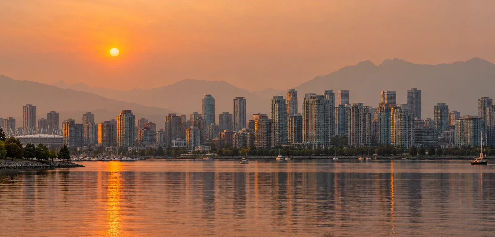
If you’ve been in Vancouver in late July or August any time in the last four years, you already know the look: the North Shore mountains go soft and grey, the sun turns orange by early evening, and your throat feels a little dry even if you haven’t been outside much. That’s wildfire smoke, usually drifting in from fires burning in BC’s Interior, the Fraser Canyon, Washington State, or occasionally further afield, and it’s become a predictable — if not constant — part of the city’s summer.
This guide is the anchor for everything else we’re building on this topic. It covers the pattern itself: when it happens, how bad it’s actually been the last few summers, how the health index you’ll see quoted in news coverage works, and how to decide what to do about it. The rest of the cluster covers the specific decisions — when to book a trip, whether to still do your usual hike or run, and what to do if you’re stuck indoors for a day or two — so consider this the one to start with and the others the ones to open when you’re planning something specific.
When smoke season actually happens
The real risk window is mid-July through mid-September, with the highest-probability stretch landing in August most years. That’s not a guess — it’s the pattern that’s shown up across four straight summers now:
- 2023 was BC’s worst wildfire season on record for smoke exposure, and it triggered multiple multi-day Metro Vancouver air quality advisories.
- 2024 was Canada’s second-most destructive wildfire season nationally, with roughly 1.08 million hectares burned provincially and two separate Metro Vancouver bulletins.
- 2025 saw about 886,000 hectares burned in BC — above the 10-year average — and AQHI hit the maximum 10+ reading in Metro Vancouver in early September.
- 2026 was actually a smaller fire year by total area burned (roughly 389,000 hectares across 901 fires, well under 2025’s total), but Metro Vancouver still issued an orange-level warning for the Fraser Valley on August 4, a region-wide yellow warning on August 5, further advisories through August 21 and 28, and a separate event in late September when smoke from the Brunswick Creek and Big Bar Complex fires pooled under a stalled high-pressure ridge and pushed the AQHI back up to 9–10+ across the region.
The takeaway from four summers of this: the exact dates move around, but the window doesn’t. If you’re planning anything outdoor-dependent — a trip, a hike, an event — treat mid-July through mid-September as the stretch where you build in a backup plan, the same way you’d plan around rain in November.
Worth noting if you’re used to US headlines: 2026 was also the year Metro Vancouver switched its public language from “air quality advisory” to “air quality warning,” aligning its terminology with how other provinces communicate the same alert. Same index, same thresholds — just a different word in the news coverage.
AQHI vs. AQI — the mix-up that confuses almost every visitor
This is the single most common point of confusion for anyone checking Vancouver’s air quality for the first time, especially visitors from the US.
Metro Vancouver and Environment and Climate Change Canada use the AQHI — the Air Quality Health Index — which runs from 1 to 10, with a “10+” category for the worst readings. It’s a health-risk scale, not a pollution-concentration scale: it’s built from the combined health risk of three pollutants (ground-level ozone, particulate matter, and nitrogen dioxide), and it’s designed to tell you what to actually do, not just what’s in the air.
Most Americans — and most phone weather widgets — default to the US AQI, which runs from 0 to 500 and is calculated differently. An AQHI of 7 and a US AQI of 7 are not remotely comparable numbers; if you pull up a US-based app in Vancouver, you may be looking at a different index than the one the local news and health authorities are using.
Rough practical translation: an AQHI of 1–3 is a normal, low-risk day. 4–6 is moderate — most people are fine, sensitive groups should pay attention. 7–10 is high risk, and 10+ is very high risk — this is where health guidance starts recommending real changes to outdoor activity (we cover exactly what changes in our Stanley Park Seawall and Grouse Grind smoke-day guide). If you only remember one thing from this section: check Metro Vancouver’s own AQHI reading, not a US AQI number, before deciding what to do with your day.
What a smoky day in Vancouver actually feels like
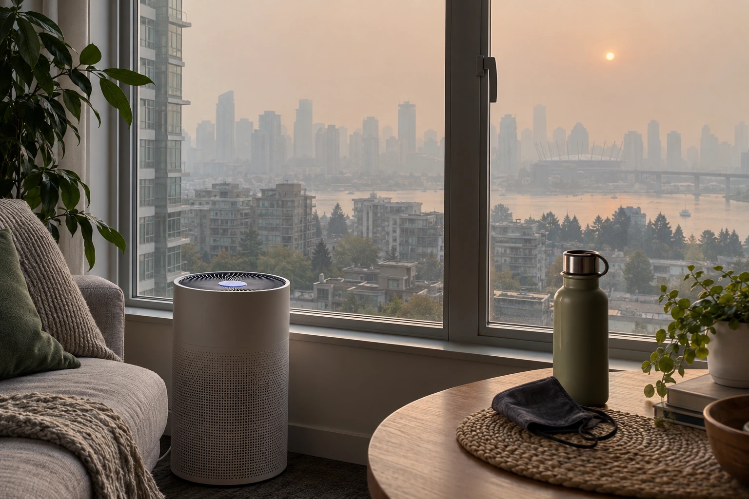
It’s rarely apocalyptic the way wildfire-adjacent footage on the news suggests. Most smoky days in Vancouver proper look like heavy haze: reduced mountain and horizon visibility, an orange-tinted sunset, a faint campfire smell outdoors, and mild throat or eye irritation if you’re outside for a while. The genuinely bad days — AQHI 9 or 10+ — are less common but do happen (both 2025 and the September 2026 event hit that level), and on those days the haze is thick enough that the North Shore mountains disappear entirely and staying indoors with windows closed is the actual recommendation, not just a suggestion.
One distinction worth being precise about: smoke behaves differently depending on elevation and exposure. The Sea-to-Sky Gondola in Squamish — about 45 minutes north of Vancouver, not in the city itself — reported ridership drops of nearly 50% on its worst visibility days, because the entire point of that attraction is the view, and smoke erases it even when air quality readings aren’t at their worst. That’s a Squamish data point, not a Vancouver-proper one, but it’s a useful illustration of how a “moderate” smoke day can still ruin a view-dependent plan even if it’s not a health risk.
On the anxiety side: a frequently cited stat is that roughly 1 in 10 potential visitors to Canada say they’d consider cancelling a trip over wildfire activity. That’s national-level survey data about Canada as a whole, not a Vancouver-specific measurement, and it’s worth being careful with — most of a typical Vancouver trip is unaffected even in a bad smoke year, and the city itself is rarely anywhere near the fires generating the smoke. We go deeper on the actual trip-planning math in the guide linked below.
How to plan around it, instead of around a single number
The mistake most people make is treating “is there smoke right now” as the only question that matters. It’s the wrong question for planning purposes, because smoke conditions can flip within a day or two as wind direction changes — checking a live reading three weeks before your trip tells you almost nothing useful. The better approach is planning around the pattern, not the live number:
- If you’re planning a trip and want to minimize the odds of hitting a smoky stretch at all, the shoulder seasons outside mid-July–mid-September carry essentially none of this risk — we break down which months are safest and which carry tradeoffs in our month-by-month guide to the best time to visit Vancouver to avoid wildfire smoke season.
- If you’re already here and wondering whether to do your usual outdoor plan today — the Seawall, Grouse Grind, or anything else exertion-heavy — the right call depends on the actual AQHI reading that day, not on whether you can see haze. We walk through the real Health Canada exercise thresholds in our guide to cancelling (or not) your Seawall run or Grouse Grind hike on a smoke day.
- If today happens to be a bad one and you need a plan B, we’ve put together 15 indoor things to do in Vancouver on a smoky day that lean specifically on spaces with real air filtration, not just “indoors.”
- If you just want to check conditions before you head out, go straight to Metro Vancouver’s own AQHI readings or Environment Canada’s air quality alerts page — a live dashboard is always going to be more current than any blog post, including this one.
FAQ
When does wildfire smoke season start in Vancouver?
Most years, the earliest noticeable smoke shows up in mid-July, with the highest-probability window running through August and sometimes into mid-September. It varies — some years it starts closer to late July, and in a few years smoke events have stretched into late September when fires elsewhere are still active.
Is Vancouver itself on fire during wildfire smoke season?
No. The smoke that affects Metro Vancouver almost always comes from fires burning elsewhere — BC’s Interior, the Fraser Canyon, Washington State, or occasionally further away — and drifts in on wind patterns. Vancouver proper rarely has active wildfires within the city; it’s a smoke-exposure problem, not a direct-fire problem.
What’s the difference between AQHI and AQI?
AQHI (1–10+) is the Canadian health-risk index used by Metro Vancouver and Environment Canada, built from three combined pollutants. AQI (0–500) is the US scale most visitors and phone apps default to. They’re not interchangeable numbers — always check which scale a given app or site is actually showing you.
Does every summer in Vancouver have bad smoke?
No. The pattern over the last four years has been real but variable in intensity — 2023 was the worst on record, 2024 and 2025 were still above-average years, and 2026 burned less total area but still produced several Metro Vancouver warnings. Some summers have only a few smoky days; none in this stretch have had zero.
Should I cancel a trip to Vancouver because of wildfire smoke?
For most travellers, no — the oft-cited “1 in 10 would cancel” figure is national Canada-wide survey data, not a Vancouver-specific risk measurement, and most trips to Vancouver proceed with only a few affected days even in a smoky summer. If your trip is heavily built around mountain views or strenuous outdoor activity, it’s worth reading our month-by-month timing guide before you book.
Where should I check Vancouver’s air quality before heading out?
Metro Vancouver’s own AQHI readings and Environment Canada’s air quality alerts are the authoritative, real-time sources — check those directly rather than relying on a generic weather app, which may be showing you the US AQI scale instead.
Sources
- Environment and Climate Change Canada — Air Quality Health Index (AQHI) overview and fact sheet
- Metro Vancouver air quality bulletins and warnings, 2023–2026 (via CTV News Vancouver, Daily Hive, Vancouver Is Awesome, Global News, Squamish Chief coverage)
- Province of British Columbia — Wildfire Season Summary (BC Wildfire Service)
- Sea-to-Sky Gondola visibility-day ridership reporting (Squamish)
Costs change. YVRBlog aims to use official sources and shows the review date above. If something has changed, please contact us.